Airborne & Ground Magnetic Surveys High-resolution magnetic measurements to map geological structures, faults, intrusions, and potential mineralized zones.
Airborne & Ground VLF Electromagnetic Surveys Rapid EM screening technique ideal for detecting conductive targets, shear zones, and structural trends.
Ground Electromagnetic (EM) Profiling Subsurface conductivity mapping used to identify sulphide bodies, alteration zones, and groundwater pathways.
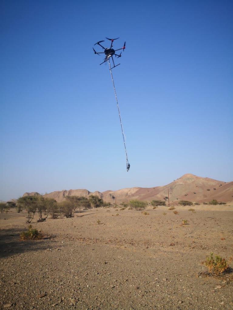
Airborne LiDAR Mapping Precise elevation and terrain data for mapping topography, structural features, and site infrastructure planning.
Airborne Photogrammetry & Surface Modeling High-accuracy imagery and 3D surface models for mapping, terrain analysis, mine planning, and site monitoring.
Gravity Surveys Measurement of density variations in bedrock and subsurface formations to detect structural changes, intrusions, and basin geometry.
Airborne & Ground Ground-Penetrating Radar (GPR) High-frequency radar imaging for shallow subsurface features, buried structures, utilities, and environmental applications.
Electrical Resistivity & Induced Polarization (IP) Surveys Resistivity and chargeability measurements for detecting disseminated sulphide deposits, groundwater, and geotechnical conditions.
• Seismic Refraction & MASW Near-surface seismic techniques used to determine soil and rock properties for engineering, geotechnical, and site development studies.